Touring Irrigation Ditches from the Backseat of a 1953 Buick Roadmaster
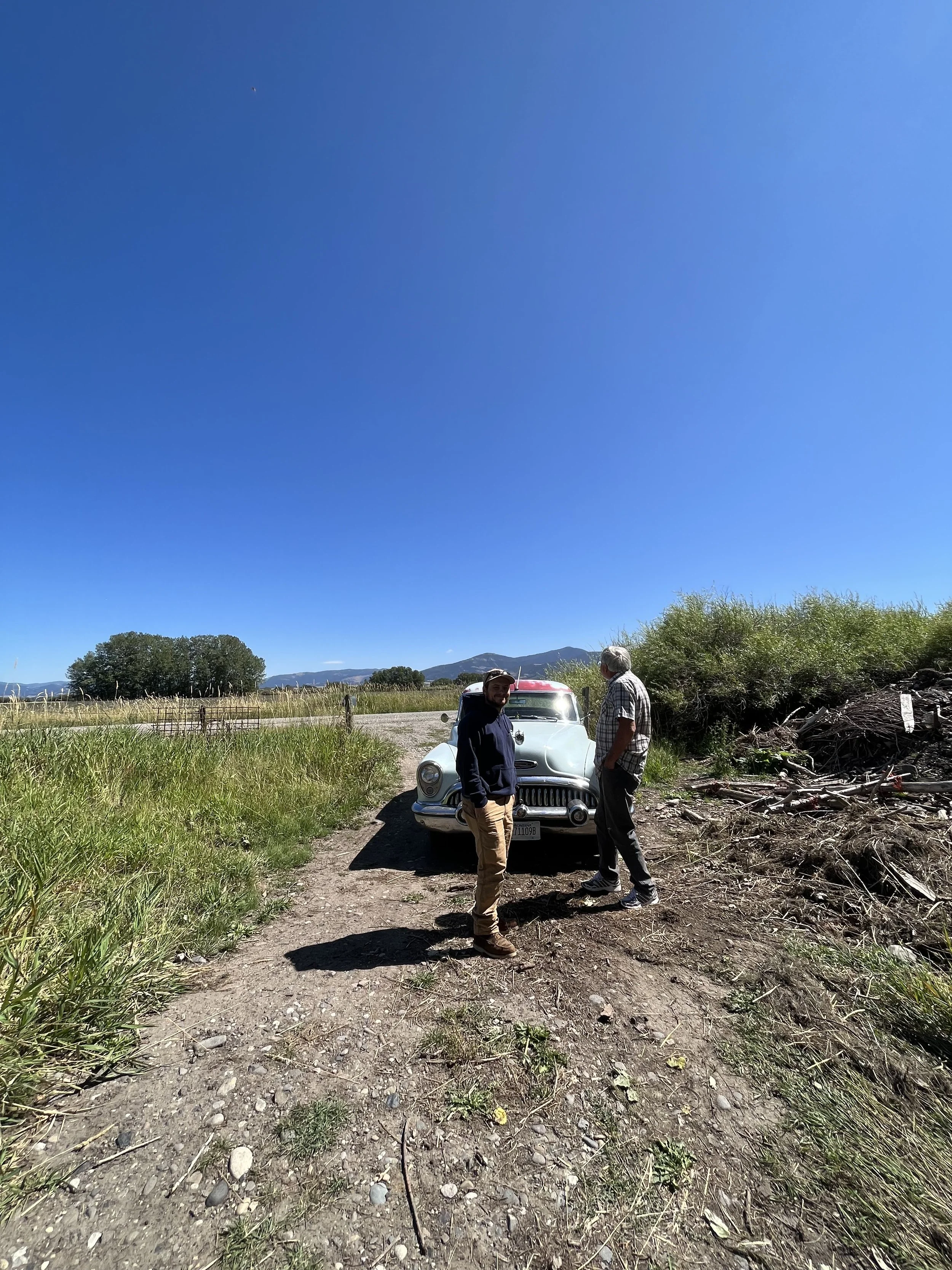
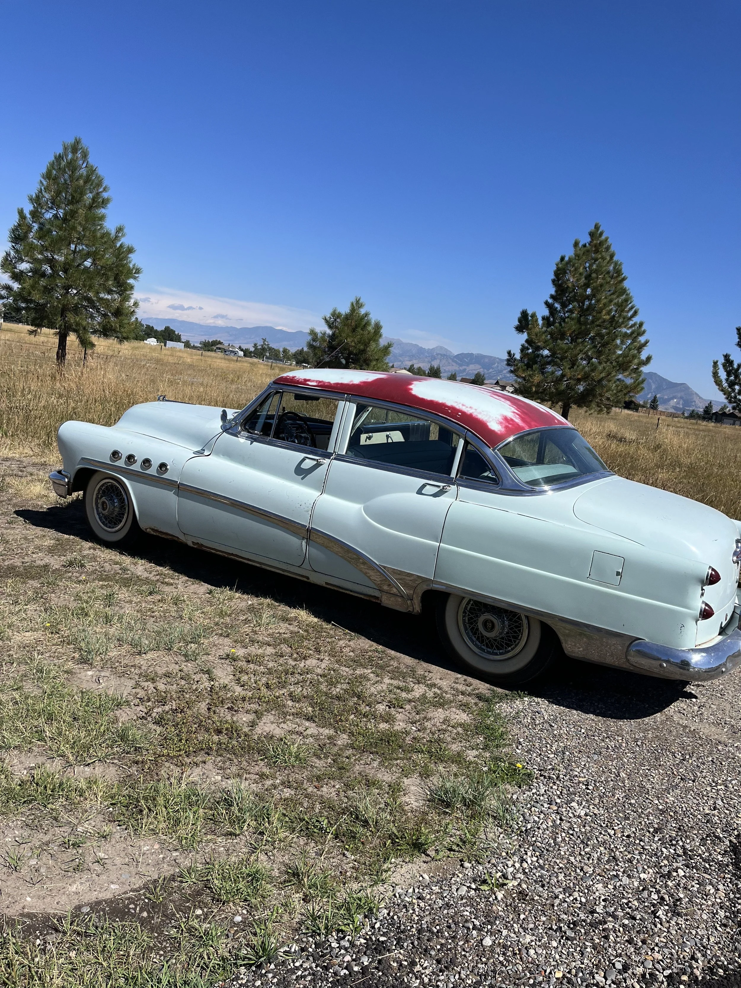
Pictured: Kevin Haggerty (right) admiring his 1953 Buick Roadmaster.
I am no car guru, but I was awe-stricken when a beautifully restored and impeccably maintained teal 1953 Buick Roadmaster picked me up at our office on a late summer morning. Cruising around the streets of Bozeman, we were the recipients of thumbs up, wide eyes, astounded honks, and people rolling their windows down to get a better look. But us? We were getting a better look at the irrigation ditches that snake through our city.
My tour guide was none other than Kevin Haggerty. Kevin is a well-driller by trade, having spent over 40 years in the profession, but he also has deep agricultural roots in the valley. His family has been in Bozeman for generations, stewarding land around Stucky and south of town. He is on the board of the Association of Gallatin Agricultural Irrigators (AGAI) and the Secretary of Middle Creek Ditch Company.
We’ve all seen ditches weaving across the Valley, the human-made channels designed to convey water from a natural source, such as a reservoir, river, or stream, to those with water rights. Some major ditches in the County, like Middle Creek Ditch and Farmers Canal, pass through the City of Bozeman. When most people hear the term irrigation ditch, they instinctively associate it with the agricultural community, but this infrastructure serves much more. In many conversations, I have heard people equate the irrigation ditches of the Lower Gallatin to arteries in a body: they spread water out over large areas, bringing life to our lands.
While these ditches may not be natural and do not flow year-round, they play a crucial role in our watershed hydrology. As we drove around Bozeman, navigating through developments, Kevin shared the history of the ditch network, pointing out where channels were piped underground and where they emerged again. It became clear just how interconnected these watercourses are with others in our watershed. For instance, water from Hyalite Creek is diverted into Middle Creek Ditch, which cuts northeast across the southern base of the valley. Along the way, its tailwater supplements several spring creeks, including Aajker, Baxter, and Cattail Creeks, each valued by spawning fish and recreators alike. Eventually, it feeds into the East Gallatin River, often supporting the blue-ribbon trout fishery when it needs water most.
Continuing down Goldstein Lane, Kevin pointed out how the ditch network can also mitigate the risk of flooding and drought in our everyday lives and in times of crisis. Each year, when the groundwater comes or we get a big rain storm, the ditches work to safely move water past our streets and neighborhoods. I also had the chance to chat with another member of AGAI, Sue Duncan, who remembers when the ditch system was activated to deal with an imminent overtopping of Hyalite Dam and delivering water to the Purdy Forest Fire in Willson-Bear country for bucket drops from the West Gallatin Canal.
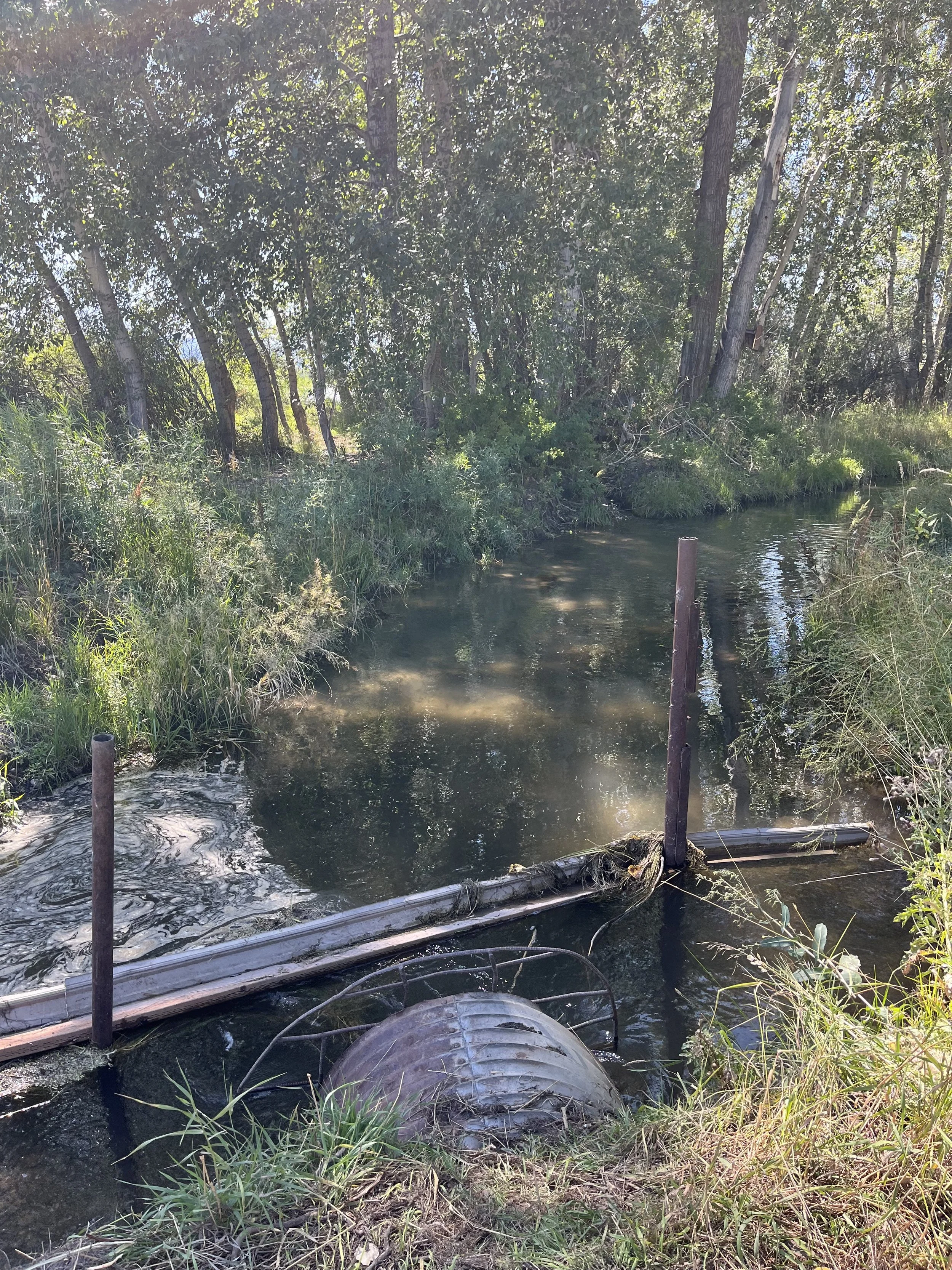
As our county grows, protecting this network of ditches becomes increasingly important, and so does our ability to coordinate with one another. Like streams, ditches face risks from land use changes. When they are altered—moved, redirected, piped, or plugged—it can be disruptive. During our tour of the ditch network, we frequently stopped to observe both functioning and impacted ditches, and Kevin explained the effects on-site and downstream. At one point, we pulled over on a road off Stucky, where he had recently worked through the night to clear a ditch buried by road construction. The culvert, which allows water to pass under the road, was still blocked, preventing Montana State University from getting water to their agricultural experiment farm. Many different stakeholders rely on ditches to transport water and bear the burden when water is blocked. We are seeing that there are unintended consequences when the system is not considered as a whole.
Thank you, Kevin, for being so generous with your time, detailed in your explanations, and passionate in your storytelling of water in the valley. I wish everyone could see the ditch network through your eyes and make the connections you do. While we can’t all have the depth of knowledge that Kevin does, we can still be advocates for maintaining a functioning ditch network. Whether driving along Stucky or gravel biking on River Road, look for water moving. Look where it’s going. Look at the land and the animals it feeds. The more we understand and appreciate it, the better equipped we may be to protect our way of life.
Katherine Berry, Water Policy Manager
LEARN MORE about how we’re engaging in plans and policies that will help to protect the irrigation network:
Recommendations for the Open Channels Program were developed by the Gallatin Water Collaborative’s Open Channels Working Group, comprising fisheries and agriculture experts from the Gallatin Valley. It describes Bozeman’s water conveyance history and offers recommendations to enhance the Stormwater Facilities Plan Update by supporting the irrigation ditch network—a critical infrastructure serving over 70,000 acres of farmland, supplementing flow in numerous spring creeks, aiding groundwater recharge, and providing flood safety to Bozeman’s neighborhoods.


